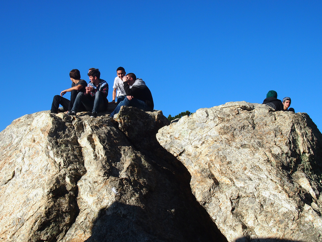
You really have to see Berkeley’s rocks. Ancient rock outcroppings are not so unusual in California, but the way North Berkeley’s neighborhoods integrated the boulders into the built landscape is pretty awe-inspiring.
 Indian Rock
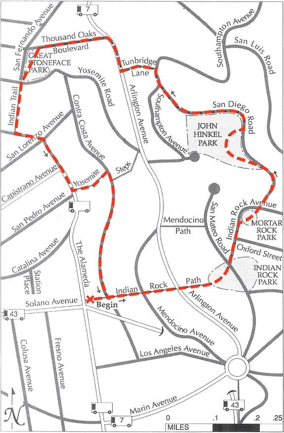
A few weeks ago, we took another walk featured in Hidden Walks in the East Bay and Marin, by Stephen Altschuler: Indian Rocks and Four Parks. This one’s become a favorite. The walk starts at the northeast corner of The Alameda and Solano Avenue, on the Indian Rock Path. Indian Rock is an ancient volcanic remnant, composed of Northbrae rhyolite. In 1917, the Mason-McDuffie Real Estate Company donated park parcels around five rock formations to the City of Berkeley, including Indian Rock Park.
John Hinkel Park
After passing through Mortar Rock Park, and walking down San Diego Road, we find ourselves in John Hinkel Park. This park always makes me feel nostalgic for a time when parks were places set in nature, places to explore, places to have a woodland adventure. This seven-acre park was donated to the City in 1919 by John and Ada Hinkel. Before donating the park, the Hinkels added a playground, trails, a huge stone fireplace, and a clubhouse, designed by John Gregg. During the depression, the Civil Works Administration built the stone terraced amphitheater, designed by Vernon Dean. It was home to the California Shakespeare Festival from 1934-1991.
The Great Stoneface Park
Our route leads us down residential streets and hidden paths to the aptly named Thousand Oaks neighborhood. All of the neighborhoods through which we pass feature custom Arts & Crafts homes, many designed by famous architects: Bernard Maybeck, Julia Morgan, and Henry Gutterson.
Our next stop is the Great Stoneface Park featuring another massive boulder, an inviting lawn, oak trees, and a handsome concrete urn. When the Thousand Oaks neighborhood was built, about twenty monumental urns, in the style of Maxfield Parrish, were placed along the streets and walking paths. After a hundred years, only one remains, at the base of Indian Trail. The one in the park is a replica commissioned by neighbors who have organized to recreate this stunning and dramatic tradition.
In Harmony with Nature
The Indian Trail is one of the most rustic and lovely of the hidden paths, with its canopy of oak branches and gates leading to the secret gardens of North Berkeley. The fundamental tenet of the Arts and Crafts movement was to build in harmony with nature. The neighborhoods we pass through blend artistically into the existing landscape. The following quote appeared in an article, “California as a Place for Homes” for the July 1915 issue of California Magazine, by Mark Daniels, the landscape architect who helped layout the Thousand Oaks neighborhood and designed many of the parks and paths we’ve enjoyed on this walk:
“Consider a spot upon the slope of the foothills, where the ground is rendered unavailable for agricultural pursuits by the steep inclines or by the frequent outcroppings of rock, but where gnarled oaks spread their distorted branches and serpent-like roots on every hand. Here is an ideal location for landscape architecture.”
Sources:
Hidden Walks in the East Bay & Marin by Stephen Altschuler.
Berkeley Rocks: Building with Nature by Jonathan Chester and Dave Weinstein.
The historic plaques in Indian Rock Park, John Hinkel Park, and the Great Stoneface Park, City of Berkeley.