five-one-oh
Living local, urban design, sustainability, landscape architecture, and places in the East Bay. Design that works where it is.
Devil’s Slide, Mavericks & Coastal Geology
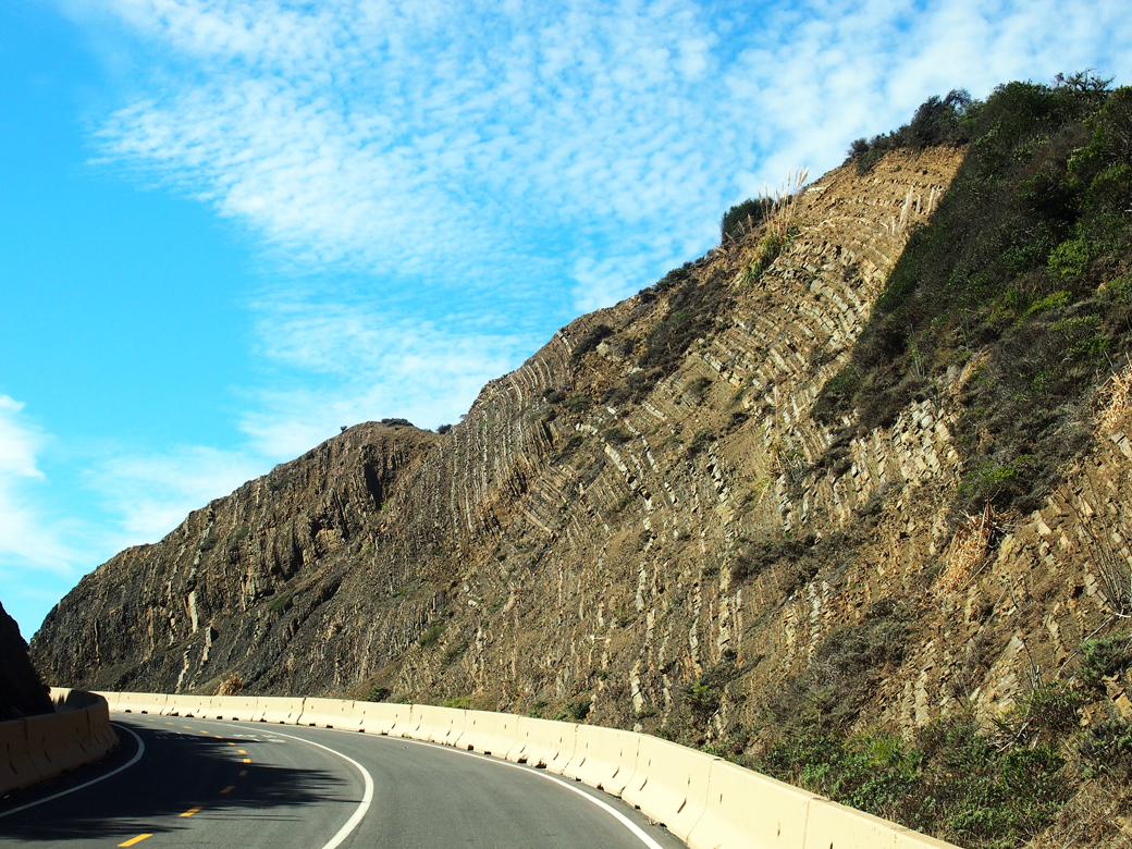
From Devil’s Slide Trail, we can see sedimentary layers of shale and sandstone thrust up from the ocean floor.
We love going places! In an attempt to reduce our carbon footprint, we spend a lot of our free time traveling local. That doesn’t mean we never fly, but it’s remarkable how much you can learn by visiting places close to home.
Devil’s Slide Trail
This new open space was the first stop on our fall day trip to the coast. Over the years, we’ve been aware of the hellish landslides at this location, sometimes closing Highway 1 for months at a time. On this journey, we learned the area’s geology is the devil causing the slides.
At the north end of the trail are rough sedimentary layers of shale and sandstone that were once part of the ocean floor. At the south end, the cliffs are granitic rock of Montara Mountain. At Devil’s Slide, landslides occur where sedimentary layers were thrust over the granitic rock.
As a result of the landslides, Highway 1 was diverted through the Tom Lantos Tunnels in 2013 and the old highway was converted to this multi-use trail. The views from Devil’s Slide Trail are spectacular but the 1.3-mile walk leads only from parking lot to parking lot. It is a part of the California Coastal Trail and we’re looking forward to the day when it extends from Oregon to Mexico.
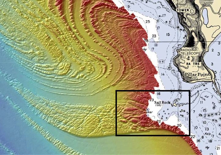
This Seafloor Map released by the US National Oceanic and Atmospheric Administration shows the geology behind Mavericks.
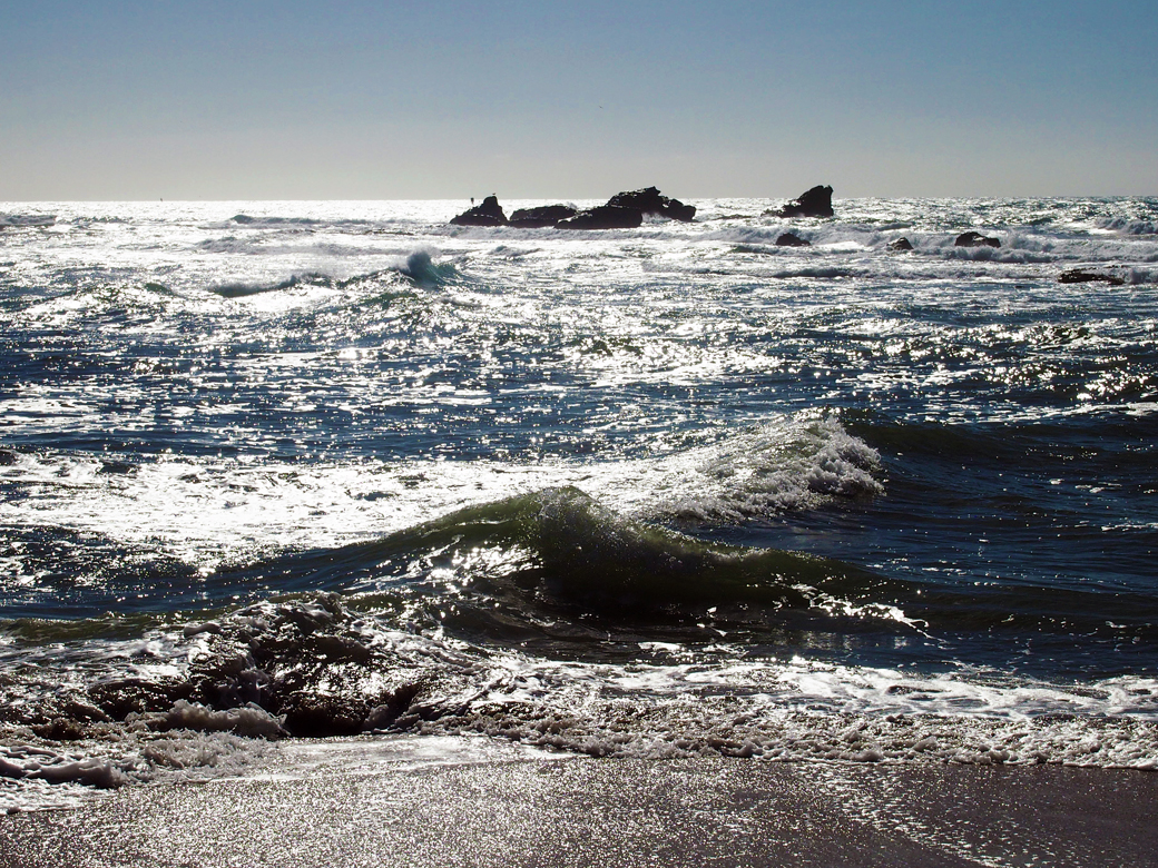
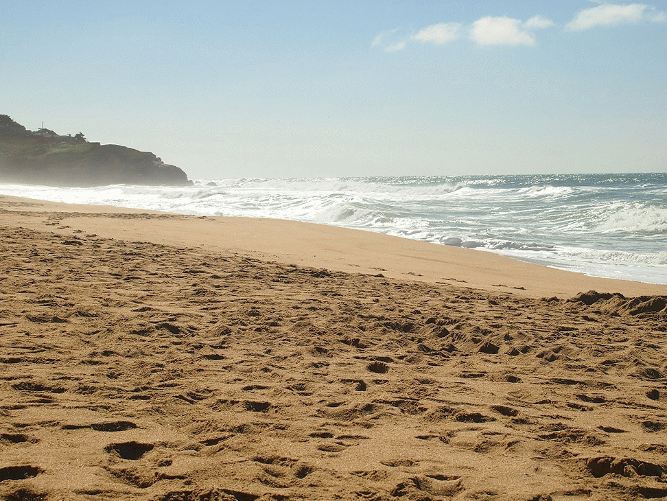
Sail Rock as seen from Mavericks Beach at Pillar Point. Mavericks break is about 2 miles from shore, beyond the visible reef.
Mavericks
Geology plays an important role in another coastal site we visited: Pillar Point, site of the famous Mavericks break. Gradual ramping of the sea-floor, plus deeper water on both sides of the ramp are the key ingredients for the magnificent and sometimes malevolent waves.
Here’s my understanding of how this works: As a wave approaches the shore, its base slows as it runs along the rising seafloor while the top of the wave maintains its original speed. This causes the wave to stand up and pitch forward. The long, gradual slope at Mavericks creates an exceptionally tall wave. The wave continues at full speed at the deeper waters on each side of the ramp, allowing the wave to draw additional energy, and creating a wave convergence at the center of the ramp. After winter storms, waves at Mavericks can top out at over 80 feet.
The mild fall weather during our day trip produced little surf but it was a beautiful and adventure-filled day. We walked along Cowell Ranch Beach before stopping at the Ritz Carlton Half Moon Bay for dinner. I’ll tell you what we thought about that, next week.
Sources:
Devil’s Slide Brochure from San Mateo County Parks
Mavericks, California from Wikipedia
Map Reveals Secret of Awesome Mavericks Waves by Phil McKenna from New Scientist


What is one of your favorite local places to go?
