Uptown Oakland keeps getting better.

Uptown Oakland-Latham SquareNamed a Great Neighborhood by the American Planning Association, Oakland’s Uptown continues to soar. Last Saturday, I took a walk with the California Planning Foundation to find out why. The conversation started with a description of Jerry Brown’s 10K plan, developed when he was mayor of Oakland (1999-2007). His vision was to bring 10,000 new residents to downtown and Jack London Square and renew the historic Arts and Entertainment district in Uptown. As we walked through the neighborhood, we learned about how Oakland made it happen, and saw for ourselves how successfully the plan is playing out.

Uptown Oakland-Fox TheaterYou’ve probably heard about Art Murmur, a giant street party that takes place in Uptown on the First Friday of every month. You’ve likely been to the excellent music venues, restaurants, and night clubs that have been proliferating for the past several years. You’ve noticed the new transit-oriented housing developments, the new Art Park, and even some successful retail businesses like Oaklandish. Here are a few things you may not have known:

OSA
One of our Governor’s ideas was to create two charter schools and bring one of them to Uptown. Before a space was ready, Oakland School for the Arts operated out of a tent, in a parking lot between 18th and 19th Streets adjacent to San Pablo Avenue. Today, it shares a home with the historic Fox Theater. The school is a success story in its own right but it has also enlivened the Uptown neighborhood by bringing youth to the streets, venues, and parks during weekdays.
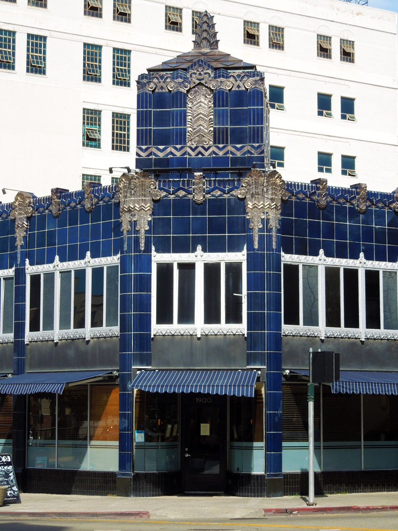
Oakland Floral Depot Building  & Flora Restaurant
The Oakland Floral Depot building houses the restaurant, Flora.


Historic Preservation

When the Loma Prieta earthquake hit Oakland in 1989, there was little financial incentive to demolish damaged buildings and start over. This turned out to be a boon for the beautiful, historic buildings that have been restored. Lack of interest in Uptown properties gave the Oakland Heritage Alliance and the City a chance to figure out ways to save the original buildings or facades. Many of the buildings are designed in the Art Deco style, and faced with glazed terra-cotta.

The City also provides matching grants to businesses in designated areas to renovate their exteriors. Free architectural assistance and 50 percent matching grants of between $10,000 and $30,000 are available to property and business owners for eligible projects.

The Capwell Building
This is a story of anticipated success. After the earthquake damaged the Beaux-Arts style department store, the retrofit included covering the original windows and terra-cotta cladding with concrete. The building that housed Sears since 1996, was purchased by Lane Partners who began renovation last November. The new design promises to bring back the windows and reopen the interior BART entrance. The ground floor will feature restaurants and foodie retail while the 2nd, 3rd and 4th floors are reserved for tech tenants.

Uptown Bike StationBike Station
A Bike Station has opened up near the 19th Street BART entrance. It has free, attended parking for 130 bikes from 7 am to 9 pm on weekdays. They offer bike repair and tune-ups as well as basic bike accessories. If you have too much fun Uptown to ride your bike home, you can leave it overnight for a $5 fee.

17th Street Gateway
The 17th Street entrance to the 19th Street BART station features new artwork inspired by the Oakland Hills, San Francisco Bay, flashy auto paint, and the blue tile of the station. The sculpture, Shifting Topographies, by Dan Corson, is painted with color-shifting paint that changes hue depending on the angle of the sun. At one end of the station, emergency ventilation shafts are disguised with topographic patterns on blue mirrored glass. Shapes of light are projected on the sculpture at night assuring that this a work of art that never stands still.

Never standing still is a good description of the whole Uptown neighborhood: It just keeps getting better.

Click on a photo to start the slideshow.

Berkeley Rocks

Indian Rock, Berkeley

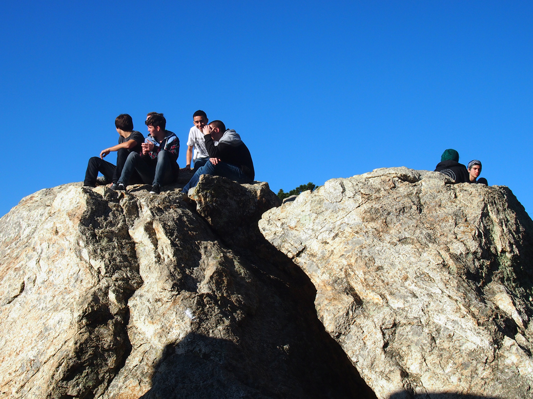
You really have to see Berkeley’s rocks. Ancient rock outcroppings are not so unusual in California, but the way North Berkeley’s neighborhoods integrated the boulders into the built landscape is pretty awe-inspiring.

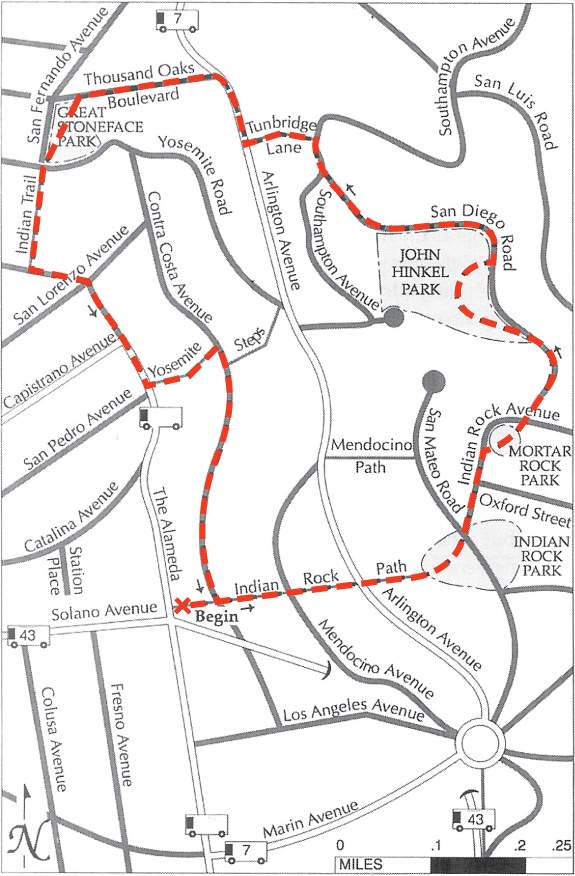
Indian Rocks and Four Parks MapIndian Rock
A few weeks ago, we took another walk featured in Hidden Walks in the East Bay and Marin, by Stephen Altschuler: Indian Rocks and Four Parks. This one’s become a favorite. The walk starts at the northeast corner of The Alameda and Solano Avenue, on the Indian Rock Path. Indian Rock is an ancient volcanic remnant, composed of Northbrae rhyolite. In 1917, the Mason-McDuffie Real Estate Company donated park parcels around five rock formations to the City of Berkeley, including Indian Rock Park.

John Hinkel Park
After passing through Mortar Rock Park, and walking down San Diego Road, we find ourselves in John Hinkel Park. This park always makes me feel nostalgic for a time when parks were places set in nature, places to explore, places to have a woodland adventure. This seven-acre park was donated to the City in 1919 by John and Ada Hinkel. Before donating the park, the Hinkels added a playground, trails, a huge stone fireplace, and a clubhouse, designed by John Gregg. During the depression, the Civil Works Administration built the stone terraced amphitheater, designed by Vernon Dean. It was home to the California Shakespeare Festival from 1934-1991.

The Great Stoneface Park
Our route leads us down residential streets and hidden paths to the aptly named Thousand Oaks neighborhood. All of the neighborhoods through which we pass feature custom Arts & Crafts homes, many designed by famous architects: Bernard Maybeck, Julia Morgan, and Henry Gutterson.

Our next stop is the Great Stoneface Park featuring another massive boulder, an inviting lawn, oak trees, and a handsome concrete urn. When the Thousand Oaks neighborhood was built, about twenty monumental urns, in the style of Maxfield Parrish, were placed along the streets and walking paths. After a hundred years, only one remains, at the base of Indian Trail. The one in the park is a replica commissioned by neighbors who have organized to recreate this stunning and dramatic tradition.

In Harmony with Nature
The Indian Trail is one of the most rustic and lovely of the hidden paths, with its canopy of oak branches and gates leading to the secret gardens of North Berkeley. The fundamental tenet of the Arts and Crafts movement was to build in harmony with nature. The neighborhoods we pass through blend artistically into the existing landscape. The following quote appeared in an article, “California as a Place for Homes” for the July 1915 issue of California Magazine, by Mark Daniels, the landscape architect who helped layout the Thousand Oaks neighborhood and designed many of the parks and paths we’ve enjoyed on this walk:

“Consider a spot upon the slope of the foothills, where the ground is rendered unavailable for agricultural pursuits by the steep inclines or by the frequent outcroppings of rock, but where gnarled oaks spread their distorted branches and serpent-like roots on every hand. Here is an ideal location for landscape architecture.”

Sources:
Hidden Walks in the East Bay & Marin by Stephen Altschuler.
Berkeley Rocks: Building with Nature by Jonathan Chester and Dave Weinstein.
The historic plaques in Indian Rock Park, John Hinkel Park, and the Great Stoneface Park, City of Berkeley.

The Vibe is Still Groovy at the Trident, Sausalito

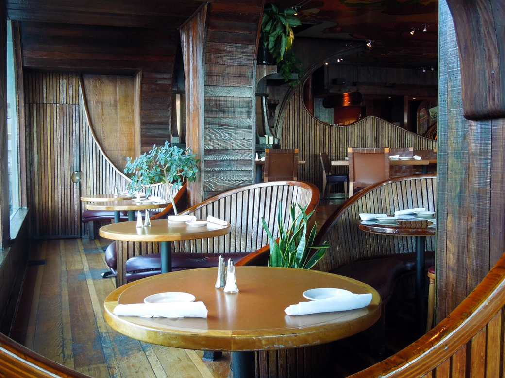
Trident, Sausalito-interior

During the 1960s and 70s, you could have bumped into Janis Joplin, enjoyed an impromptu concert by Bob Dylan, or had Robin Williams bus your table at a natural foods restaurant in Sausalito: the Trident. The Kingston Trio [1] bought a bar on the waterfront and opened the Trident Restaurant and music venue in 1960. The owners hired local artisans to create the curvy wooden booths and paint the psychedelic ceiling.

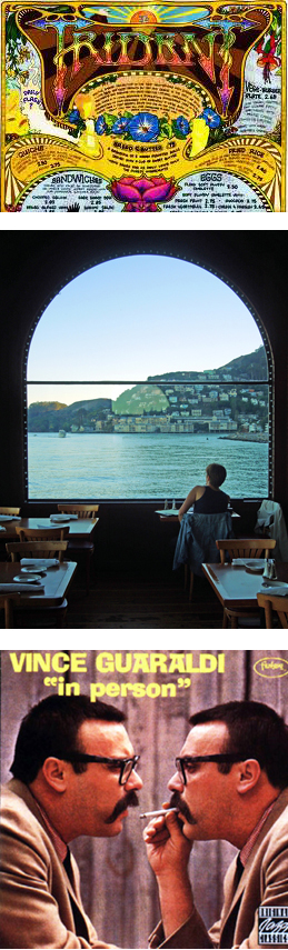
Trident photosThe hippie subculture had found a home.

Some of the stories about the Trident include lovely, scantily dressed, and creative waitresses serving ramos gin fizzes to the likes of Joan Baez, Stephen Stills, Jerry Garcia, Phil Lesh, Groucho Marx, Clint Eastwood, and the Smothers Brothers. A scene from Woody Allen’s, Play it Again Sam was filmed at the restaurant. Janis Joplin had her own table. Vince Guaraldi recorded his live album, In Person, at the Trident. Robin Williams was a busboy. David Crosby dubbed the Trident, “Ground zero for sex, drugs, and Rock and Roll!”

We read Michael Bauer’s review of the recently reopened Trident in Sausalito and knew we wanted to go and get our 60s/70s vibe on. If you’re going, read Michael Bauer’s review to find out what’s worth eating. The woodwork has been restored as well as the ceiling and wall artwork. It’s cool. We appreciated the fact that the reopened Trident features local, organic and sustainably-produced ingredients but most of all, we wanted to commune with Trident’s ghosts and gaze across the San Francisco Bay. We weren’t disappointed.

Do you have any memories of the Trident? Studio 54? No? Then just tell me about the time you tie-dyed a t-shirt at summer camp or drank the kool-aid. I want to know.

1. The Kingston Trio were a hugely popular folk music group in the late 50s and early 60s. My parents listened to their albums.

Sources:

Home

http://www.thetridentrestaurant.com/

http://www.concordmusicgroup.com/artists/vince-guaraldi/

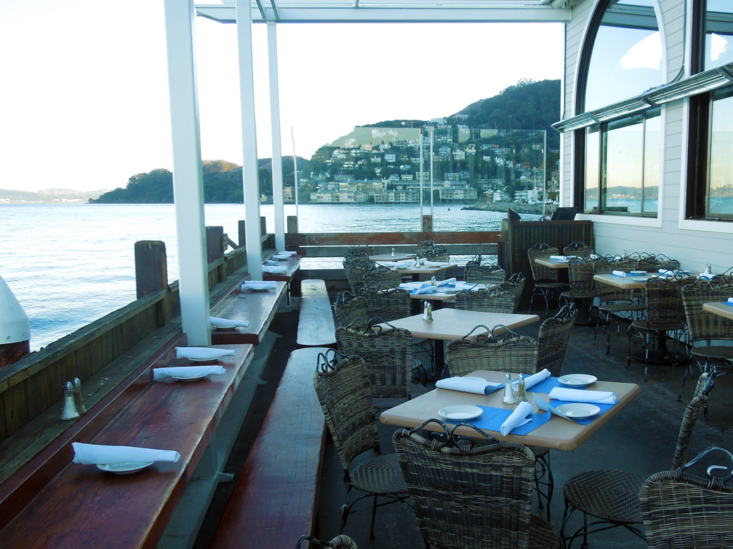
Outdoor patio at the Trident, Sausalito

Hidden Walk in Sausalito

OLYMPUS DIGITAL CAMERA

Jan and I love to hike in beautiful open space areas like the East Bay Regional Parks, Joaquin Miller Park, or Mount Tamalpais, but sometimes we also enjoy exploring urban areas. The residential areas of the East Bay and Marin are loaded with pedestrian paths and stairways laid out in the early 20th century. We’ve learned about most of these walks by following directions in books like, Hidden Walks in the East Bay and Marin by Stephen Altschuler. We probably wouldn’t give the book more than about three stars, but Stephen’s introduced us to a lot of cool places.

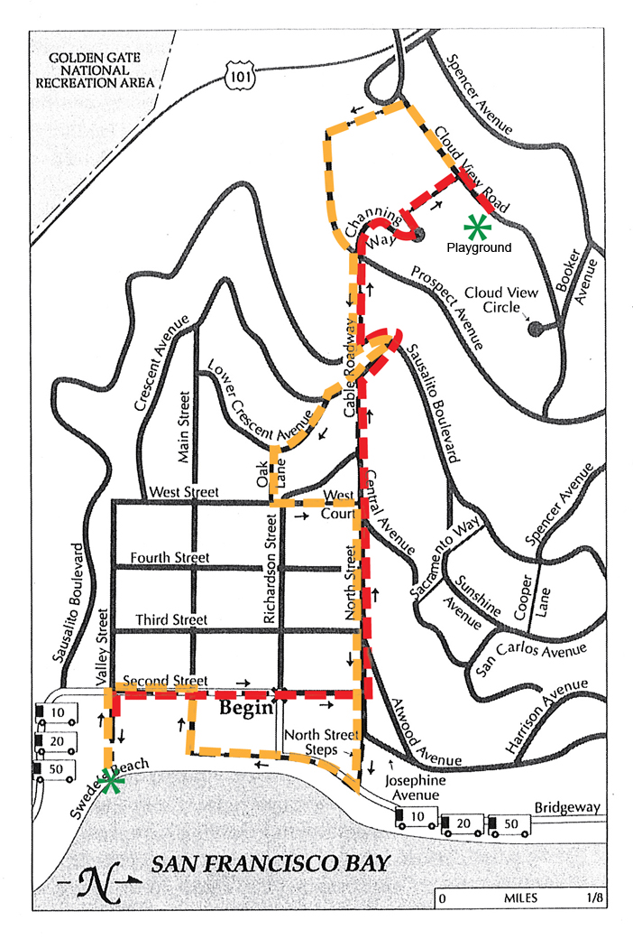
Base Map from Hidden Walks in the East Bay & Marin by Stephen Altschuler

We enjoyed this 3.3 mile walk, described as Hi/Lo Sausalito. We started our day with lunch at Swede’s Beach, a tiny public beach dedicated to the memory of Fire Captain Ralph K. “Swede” Pedersen. The red path on the map shows our journey to the top of the hillside and yellow shows the return trip. The views of San Francisco, Alcatraz, and the Bay Bridge are spectacular.

We walked up a rustic set of stone steps called Cable Roadway, a steep and scenic path under a canopy of trees. After getting tangled up in the book’s directions a couple of times, we found our way to a beautiful wooden sculpture of Saint Francis nestled in the oak woodland. Nearby, is a charming public playground with an old community building and open public restroms, an amenity we often wish for on urban walks.

Several more paths, stairs, and roadways led us back down to a little park by the Bay. After the walk we had time to wander around the village for a while before dinner at Trident. Trident is the subject for next week’s blog. Until then, are you planning any walks?

Puttin’ On the Ritz

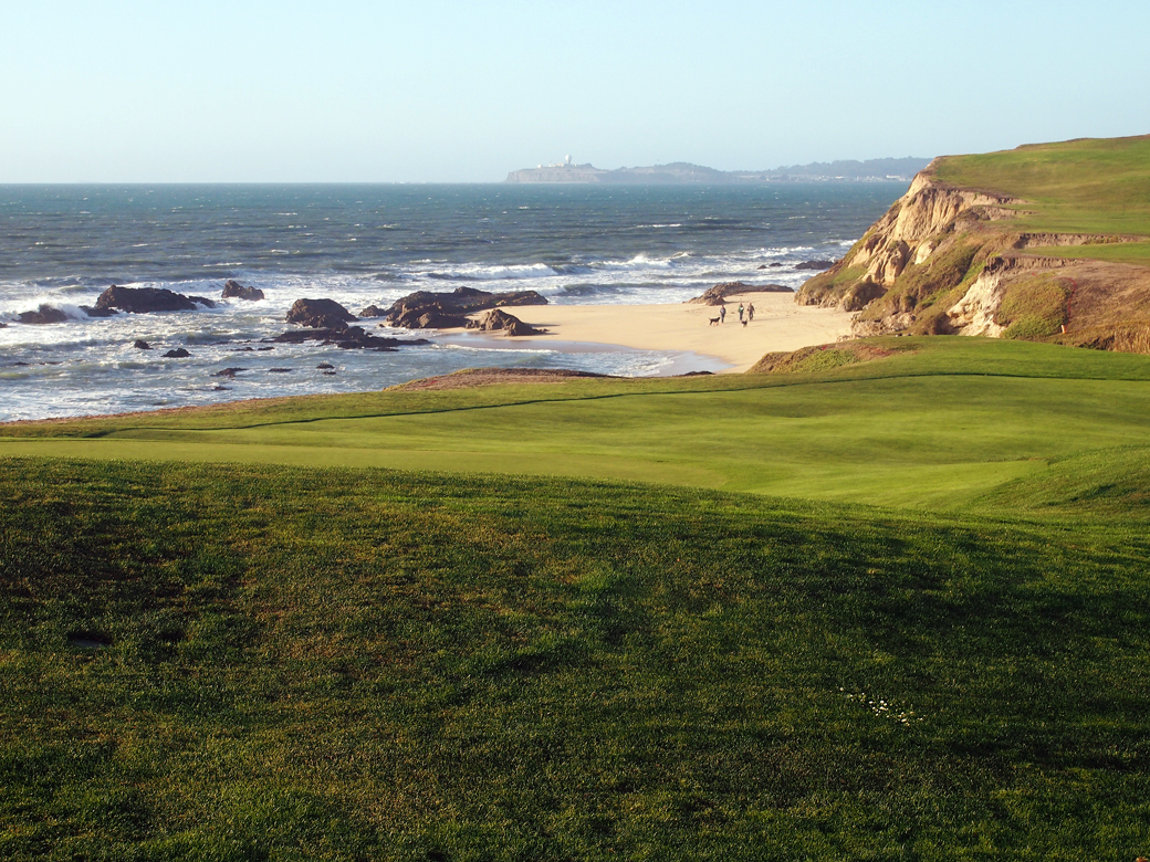
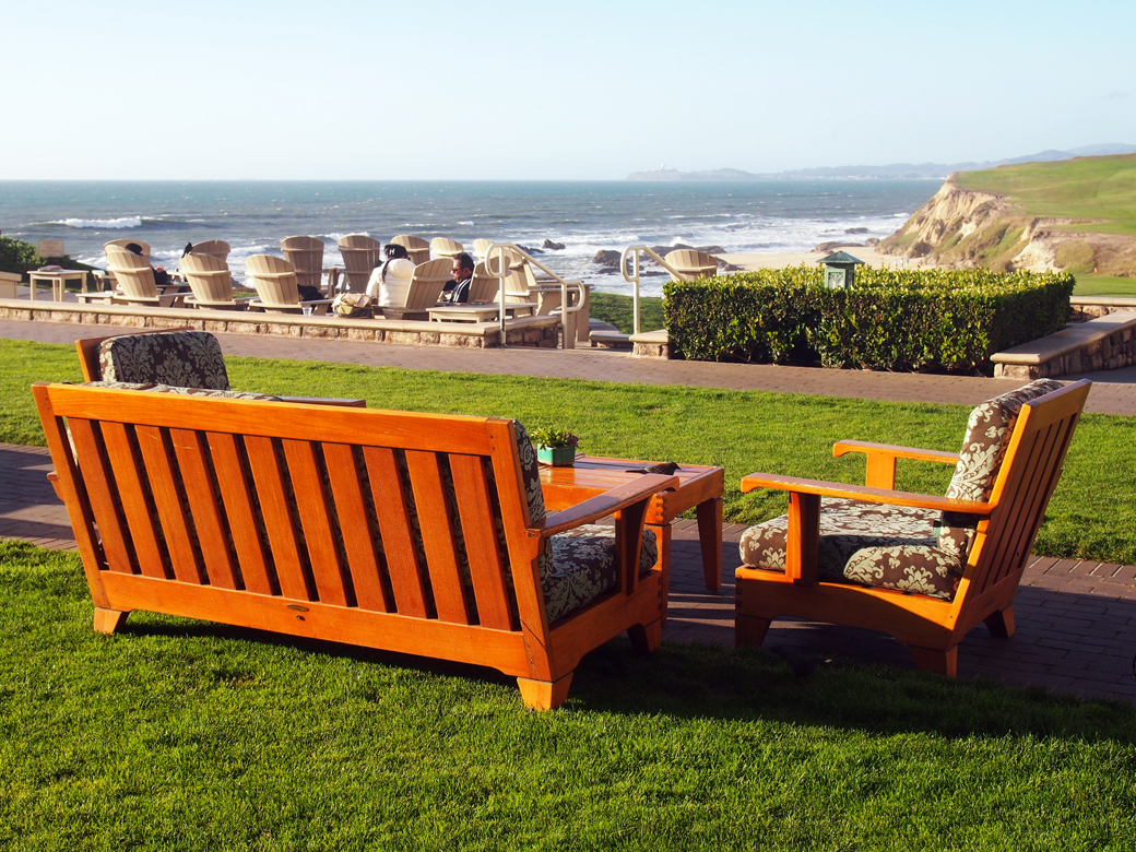
View from Ritz Carlton Half Moon Bay

After a spectacular day on the coast, we decided to stop at the Ritz Carlton in Half Moon Bay to enjoy the sunset and a cocktail. Upon arrival, we paid $10 for valet parking, the only option, and headed directly for the ocean terrace by the fire pits. We had Manhattans that cost an astounding $17.50. Each. And they were worth it – not because they were particularly special but because of the view. Let’s talk about the view.

The squashes at the resort entrance were one seasonal touch that fit with the locale
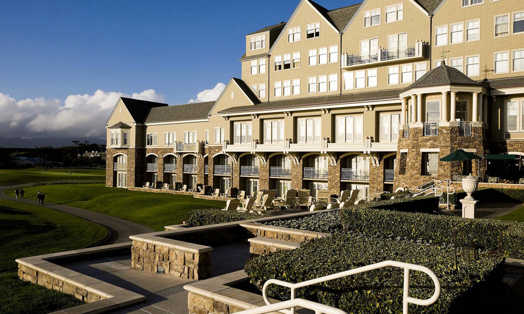
Photo by the Athens Group

The Ritz Carlton is everything I don’t like and yet, I liked it. It’s a bit of Scotland on the California coast…because we need California to be Scotland? No. So, the resort features Scottish architecture? No. The hotel is an imposing, shingle style, turreted affair that’s supposed to “evoke the magnificence of 19th century seaside lodges”. Northeastern seaside lodges. The Hamptons come to mind. Okay, it’s a magnificent northeastern style seaside lodge set within a pair of Scottish golf courses with staff walking around in plaid knickers. The Ritz Carlton is not an example of regional design.

Why did I like it? I’ve spent a lot of time on the California coast and the beautiful view from the cliffs overlooking the ocean is never diminished. It can be foggy (and it probably will be), it can be windy, it can smell like the brussels sprouts growing on the bluffs, the beaches can be littered with brown seaweed covered in sand flies, and it is still the most breathtaking place I’ve ever been. The California coast is like a beautiful girl, hair tangled, barefoot in sandy jeans and a faded sweatshirt. The view from the Ritz Carlton ocean terrace on a clear day was like seeing her in a green velvet gown and high heels. It’s not the way I want the coast to be but I can’t help feeling glad I saw her that way.

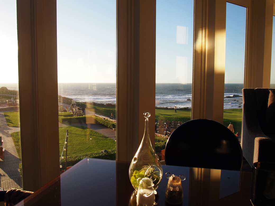
Ritz Carlton HMB Ocean TerraceRitz Carlton HMB NavioAfter shaking off the sticker shock of the cocktails, we sallied forth to Navio, the restaurant at the resort, with a plan NOT to eat barely acceptable food at very expensive prices. The dining room is lovely and we were given a table at the window. We ordered conservatively, (two women can get away with significantly less food than a traditional couple) and ate a perfectly acceptable dinner for under $100. The service was good. The food was good. Nothing was memorable but the view. After we got back to Oaktown, I checked out Michael Bauer’s 2013 review and can say I think Navio has improved since his meal, but I won’t deny that the restaurant is not a good value.

The Ritz Carlton made me feel sorry for people who think the coastal experience is something they can buy. Without a deeper relationship with the shoreline, the Ritz Carlton is nothing but a fancy, out of place resort. Next time, we might still stop in for a cocktail at the Ritz, but afterwards we’ll head up Highway 1 to our favorite Half Moon Bay taqueria for dinner.

Devil’s Slide, Mavericks & Coastal Geology

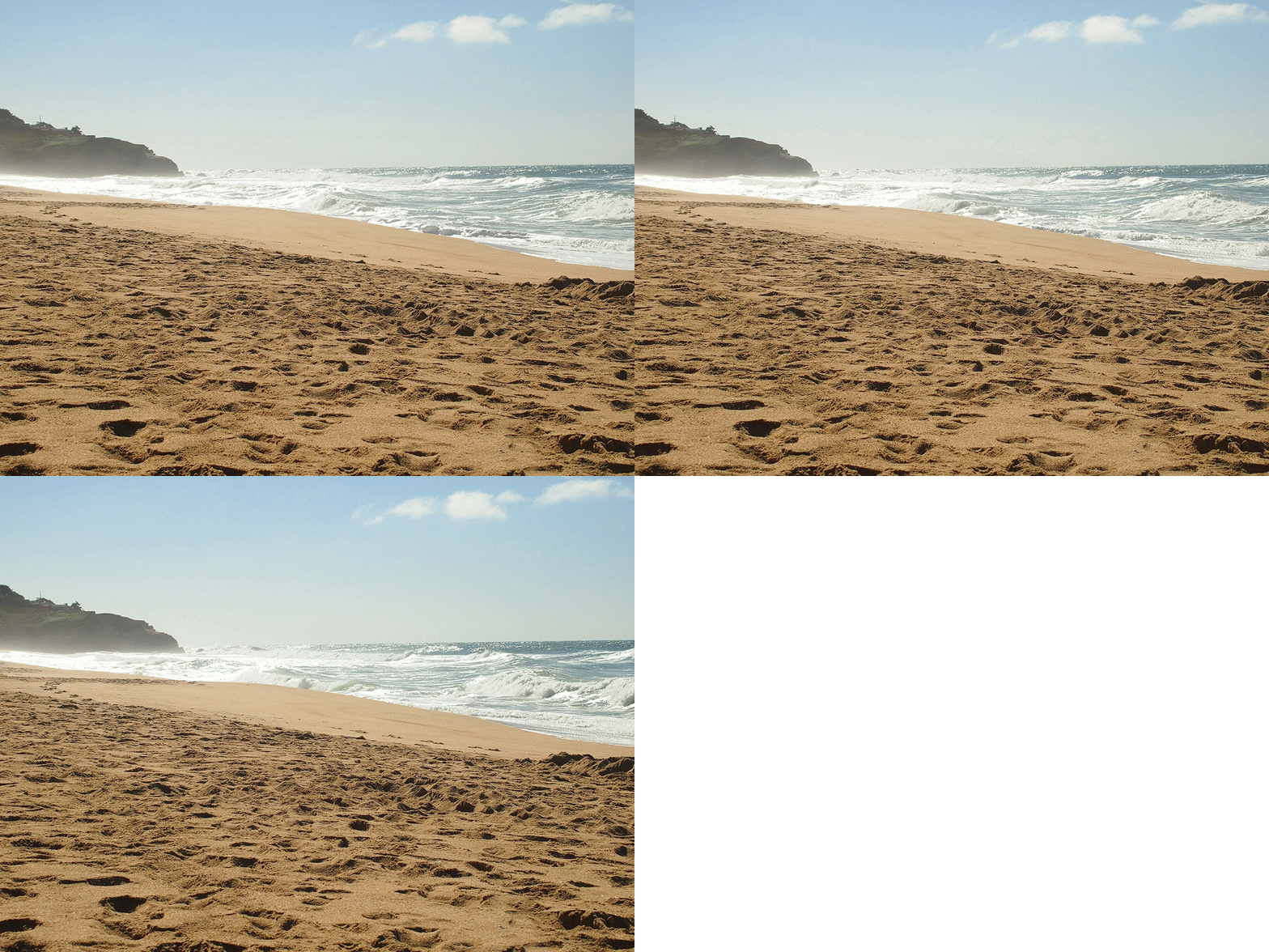
Surf and sand at Montara State Beach

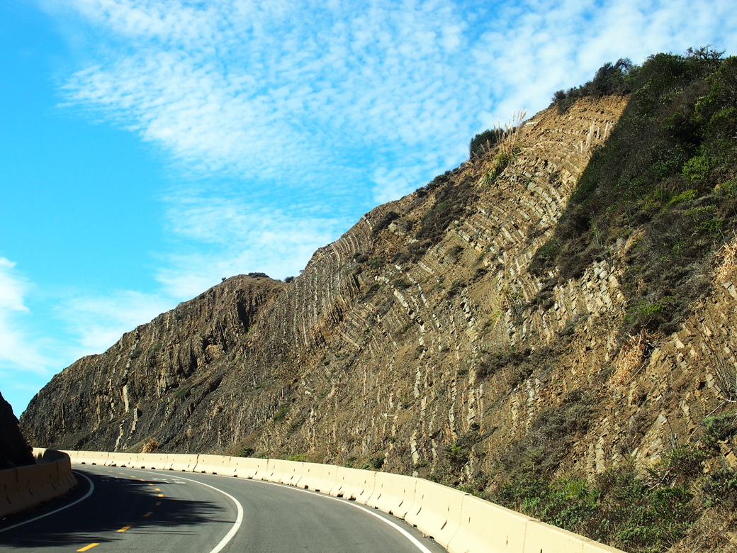
Devil's Slide - Sedimentary layers of shale and sandstone
From Devil’s Slide Trail, we can see sedimentary layers of shale and sandstone thrust up from the ocean floor.

We love going places! In an attempt to reduce our carbon footprint, we spend a lot of our free time traveling local. That doesn’t mean we never fly, but it’s remarkable how much you can learn by visiting places close to home.

Devil’s Slide Trail
This new open space was the first stop on our fall day trip to the coast. Over the years, we’ve been aware of the hellish landslides at this location, sometimes closing Highway 1 for months at a time. On this journey, we learned the area’s geology is the devil causing the slides.

At the north end of the trail are rough sedimentary layers of shale and sandstone that were once part of the ocean floor. At the south end, the cliffs are granitic rock of Montara Mountain. At Devil’s Slide, landslides occur where sedimentary layers were thrust over the granitic rock.

As a result of the landslides, Highway 1 was diverted through the Tom Lantos Tunnels in 2013 and the old highway was converted to this multi-use trail. The views from Devil’s Slide Trail are spectacular but the 1.3-mile walk leads only from parking lot to parking lot. It is a part of the California Coastal Trail and we’re looking forward to the day when it extends from Oregon to Mexico.

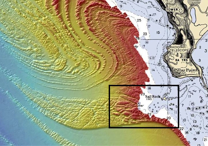
This Seafloor Map released by the US National Oceanic and Atmospheric Administration shows the geology behind Mavericks.
Sail Rock from the beach at Pillar Point
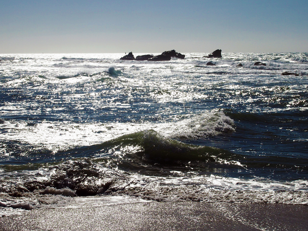
Sail Rock as seen from Mavericks Beach at Pillar Point. Mavericks break is about 2 miles from shore, beyond the visible reef.

Mavericks
Geology plays an important role in another coastal site we visited: Pillar Point, site of the famous M
avericks break. Gradual ramping of the sea-floor, plus deeper water on both sides of the ramp are the key ingredients for the magnificent and sometimes malevolent waves.

Here’s my understanding of how this works: As a wave approaches the shore, its base slows as it runs along the rising seafloor while the top of the wave maintains its original speed. This causes the wave to stand up and pitch forward. The long, gradual slope at Mavericks creates an exceptionally tall wave. The wave continues at full speed at the deeper waters on each side of the ramp, allowing the wave to draw additional energy, and creating a wave convergence at the center of the ramp. After winter storms, waves at Mavericks can top out at over 80 feet. 

The mild fall weather during our day trip produced little surf but it was a beautiful and adventure-filled day. We walked along Cowell Ranch Beach before stopping at the Ritz Carlton Half Moon Bay for dinner. I’ll tell you what we thought about that, next week.

Sources:
Devil’s Slide Brochure from San Mateo County Parks
Mavericks, California from Wikipedia
Map Reveals Secret of Awesome Mavericks Waves by Phil McKenna from New Scientist

What is one of your favorite local places to go?

Big Sur Roadhouse

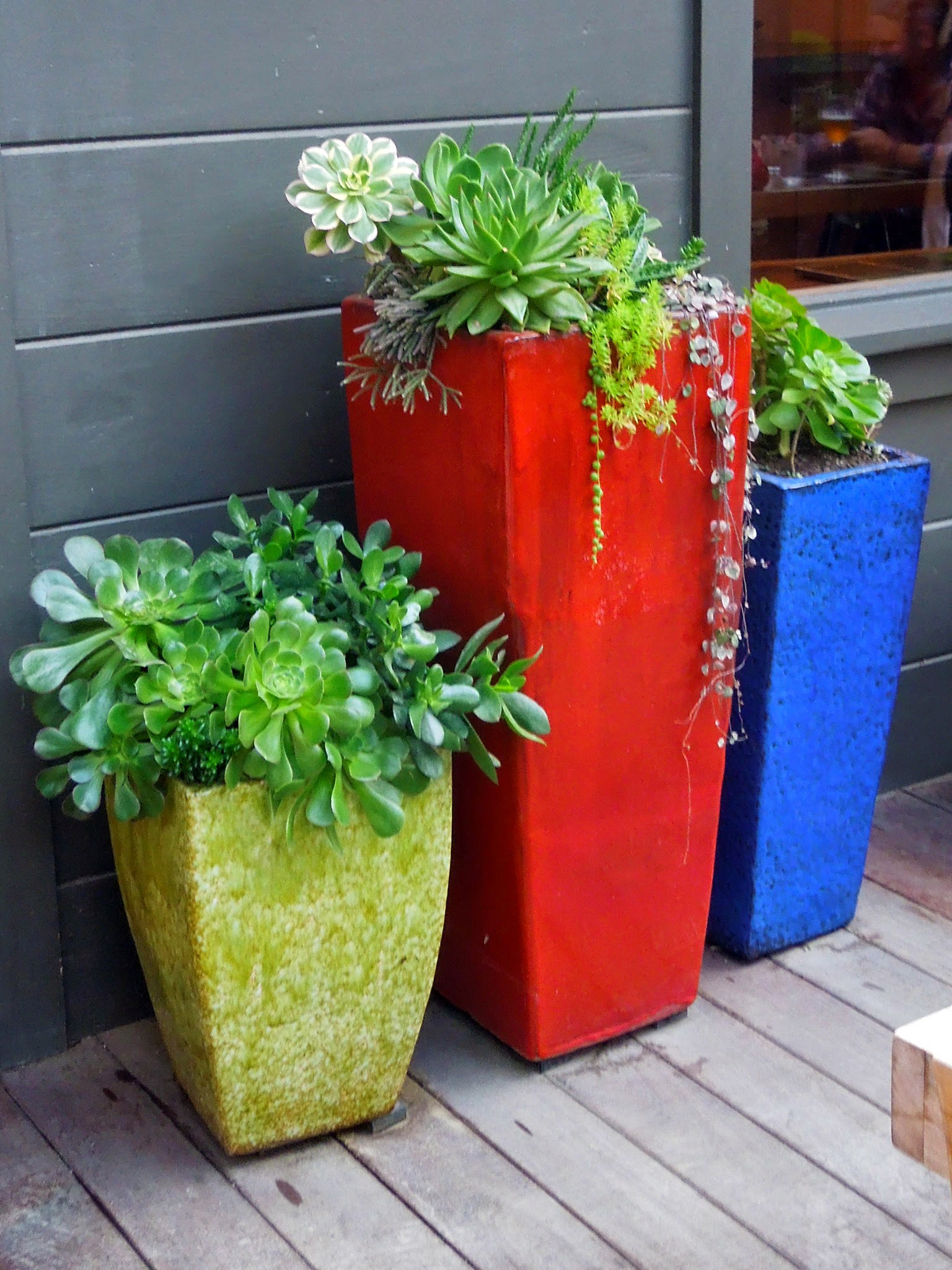
Big Sur Roadhouse Succulents One way we live where we are is to travel local. We spent the weekend with the kids in Big Sur, about 150 miles from most of the five-one-oh area code.

Sunday, we tried a new restaurant: Big Sur Roadhouse. The food was delicious and the design will bring us back. It is the perfect cozy place on a foggy Big Sur evening.

The Roadhouse serves beer and wine only and we discovered a lovely French fermented cider, Clos Normand. The restaurant served it in wine glasses from a champagne bucket: very festive. Big Sur Roadhous-Firepit