Placemaking

Parking Day in Flint, Michigan
Parking Day in Flint, Michigan. Photo from http://www.aiaflint.com/
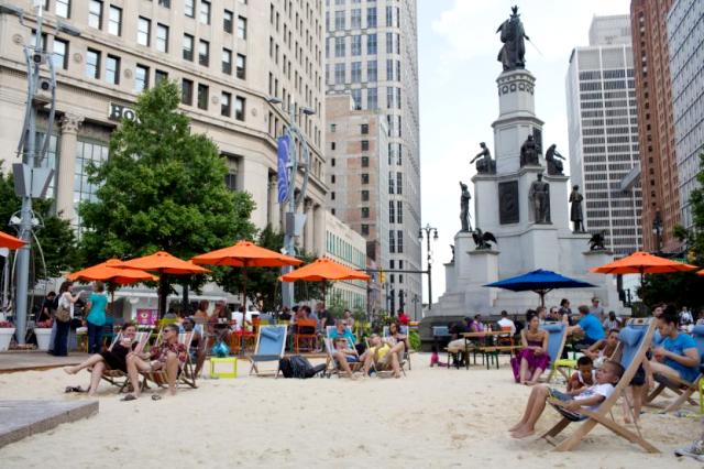
In downtown Detroit, an underutilized lawn was transformed into a beach at Campus Martius Park. Photo from pps.org

I’ve been posting about all things local here in the East Bay. What about you and the place where you live? What do you love about your neighborhood? What would make it even better?

On Friday, I attended the SF Placemaking Summit at AIASF (American Institute of Architects, San Francisco Chapter).The overall idea of placemaking is to create better public spaces: not just better looking, but open space that’s more useable by everybody in the community. Some of the principles are:

  • The community is the expert.
  • Public space should be an authentic reflection of the community.
  • Do little, easy things now and you can improve it if it’s working.
  • Public spaces are for everyone.
  • Each place should have several things to do.
  • Great public spaces are places to connect.

How is that different from good urban design? In my opinion, it isn’t. That may be an effect, in part, of the placemaking movement’s influence on urban design and the inspiration of William H. Whyte. In the 1970s, Whyte set up the Streetlife Project,a pioneering study of how people use spaces. Over the past 30 years, urban designers have learned to incorporate the principles of placemaking in our work.
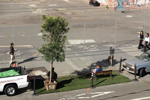
The original PARK(ing) Day park created by Rebar in 2005. Photo from Rebar

An important placemaking concept is a bottom-up approach, and parklets are an example inspired by PARK(ing) Day. Downtown San Francisco is densely populated and built-out with limited room for new public open space, but there’s plenty of space dedicated to the automobile. Rebar, a local art and design studio, started PARK(ing) Day in San Francisco in 2005 by converting a single metered parking space into a temporary public park.The concept was so popular that now PARK(ing) Day is celebrated on the third Friday in September all over the world. Drawing on the success of PARK(ing) Day, the City of SF’s Planning Department adopted a policy for parklets that would last an entire summer or longer: Pavement to Parks. This has been the model for global parking space conversion to useable open space.
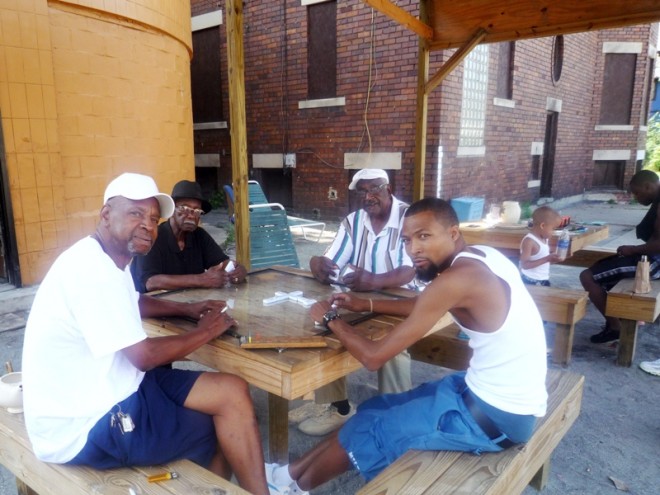
Central Detroit residents have transformed an abandoned gas station into a gathering place at Peaches & Greens, complete with new furniture and a pavilion structure to protect domino players from the elements. / Photo: Steve Davies / Peaches & Greens
Central Detroit residents transformed an abandoned gas station into a gathering place at Peaches & Greens. Photo: Steve Davies/Peaches & Greens

The SF Placemaking Summit was thought-provoking and inspirational. We asked a lot of questions that I’ll explore here in the coming weeks. For example, a lot of the placemaking happening in San Francisco is designed for hipsters. What kind of placemaking is for children or seniors? Are public spaces being created in all neighborhoods?

Parklets are just one way you might be able to create public space in your community. What are some others? Have you been noticing more outdoor places to gather in your town? Let’s start a conversation.

Sources: http://www.pps.org/
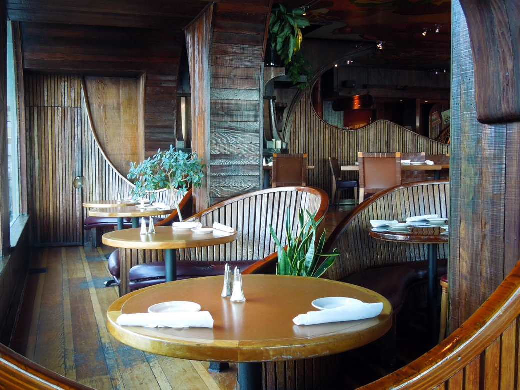
The Vibe is Still Groovy at the Trident, Sausalito

Trident, Sausalito-interior

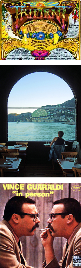
During the 1960s and 70s, you could have bumped into Janis Joplin, enjoyed an impromptu concert by Bob Dylan, or had Robin Williams bus your table at a natural foods restaurant in Sausalito: the Trident. The Kingston Trio [1] bought a bar on the waterfront and opened the Trident Restaurant and music venue in 1960. The owners hired local artisans to create the curvy wooden booths and paint the psychedelic ceiling.

Trident photosThe hippie subculture had found a home.

Some of the stories about the Trident include lovely, scantily dressed, and creative waitresses serving ramos gin fizzes to the likes of Joan Baez, Stephen Stills, Jerry Garcia, Phil Lesh, Groucho Marx, Clint Eastwood, and the Smothers Brothers. A scene from Woody Allen’s, Play it Again Sam was filmed at the restaurant. Janis Joplin had her own table. Vince Guaraldi recorded his live album, In Person, at the Trident. Robin Williams was a busboy. David Crosby dubbed the Trident, “Ground zero for sex, drugs, and Rock and Roll!”

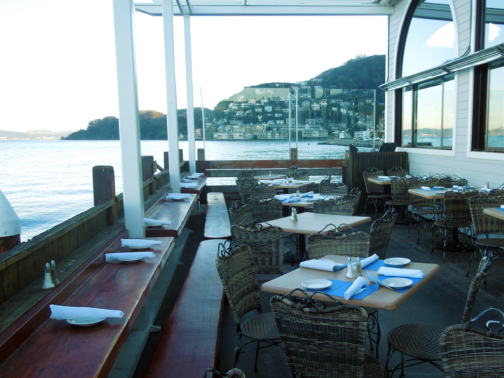
We read Michael Bauer’s review of the recently reopened Trident in Sausalito and knew we wanted to go and get our 60s/70s vibe on. If you’re going, read Michael Bauer’s review to find out what’s worth eating. The woodwork has been restored as well as the ceiling and wall artwork. It’s cool. We appreciated the fact that the reopened Trident features local, organic and sustainably-produced ingredients but most of all, we wanted to commune with Trident’s ghosts and gaze across the San Francisco Bay. We weren’t disappointed.

Do you have any memories of the Trident? Studio 54? No? Then just tell me about the time you tie-dyed a t-shirt at summer camp or drank the kool-aid. I want to know.

1. The Kingston Trio were a hugely popular folk music group in the late 50s and early 60s. My parents listened to their albums.

Sources:

Home

http://www.thetridentrestaurant.com/

http://www.concordmusicgroup.com/artists/vince-guaraldi/

Outdoor patio at the Trident, Sausalito

Hidden Walk in Sausalito

OLYMPUS DIGITAL CAMERA

Jan and I love to hike in beautiful open space areas like the East Bay Regional Parks, Joaquin Miller Park, or Mount Tamalpais, but sometimes we also enjoy exploring urban areas. The residential areas of the East Bay and Marin are loaded with pedestrian paths and stairways laid out in the early 20th century. We’ve learned about most of these walks by following directions in books like, Hidden Walks in the East Bay and Marin by Stephen Altschuler. We probably wouldn’t give the book more than about three stars, but Stephen’s introduced us to a lot of cool places.

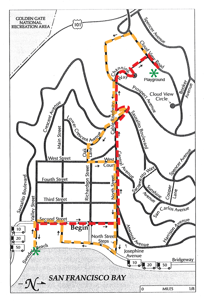
Base Map from Hidden Walks in the East Bay & Marin by Stephen Altschuler

We enjoyed this 3.3 mile walk, described as Hi/Lo Sausalito. We started our day with lunch at Swede’s Beach, a tiny public beach dedicated to the memory of Fire Captain Ralph K. “Swede” Pedersen. The red path on the map shows our journey to the top of the hillside and yellow shows the return trip. The views of San Francisco, Alcatraz, and the Bay Bridge are spectacular.

We walked up a rustic set of stone steps called Cable Roadway, a steep and scenic path under a canopy of trees. After getting tangled up in the book’s directions a couple of times, we found our way to a beautiful wooden sculpture of Saint Francis nestled in the oak woodland. Nearby, is a charming public playground with an old community building and open public restroms, an amenity we often wish for on urban walks.

Several more paths, stairs, and roadways led us back down to a little park by the Bay. After the walk we had time to wander around the village for a while before dinner at Trident. Trident is the subject for next week’s blog. Until then, are you planning any walks?

Plank

150103 JLS-Plank Sign-web
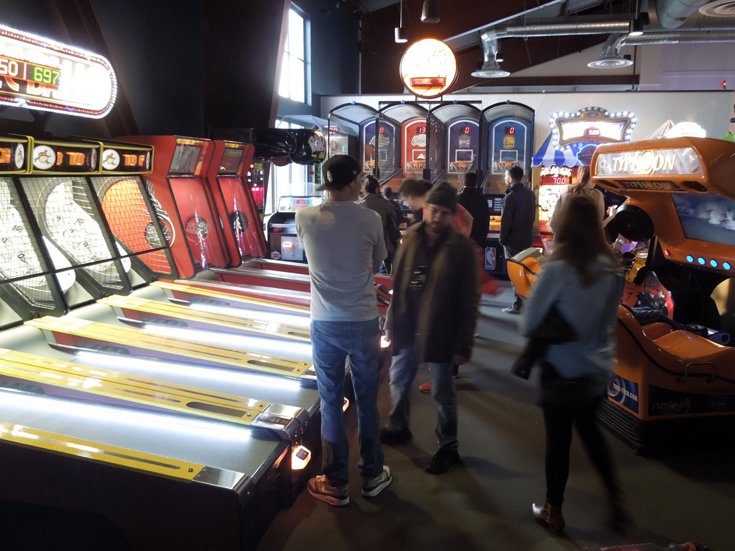
150103 JLS-Plank Arcade-webJack London Square once had a Barnes & Noble bookstore for an anchor. As of October, the new tenant is Plank. Plank features fun. A cacophony of noisy, frolicking, frivolous fun.

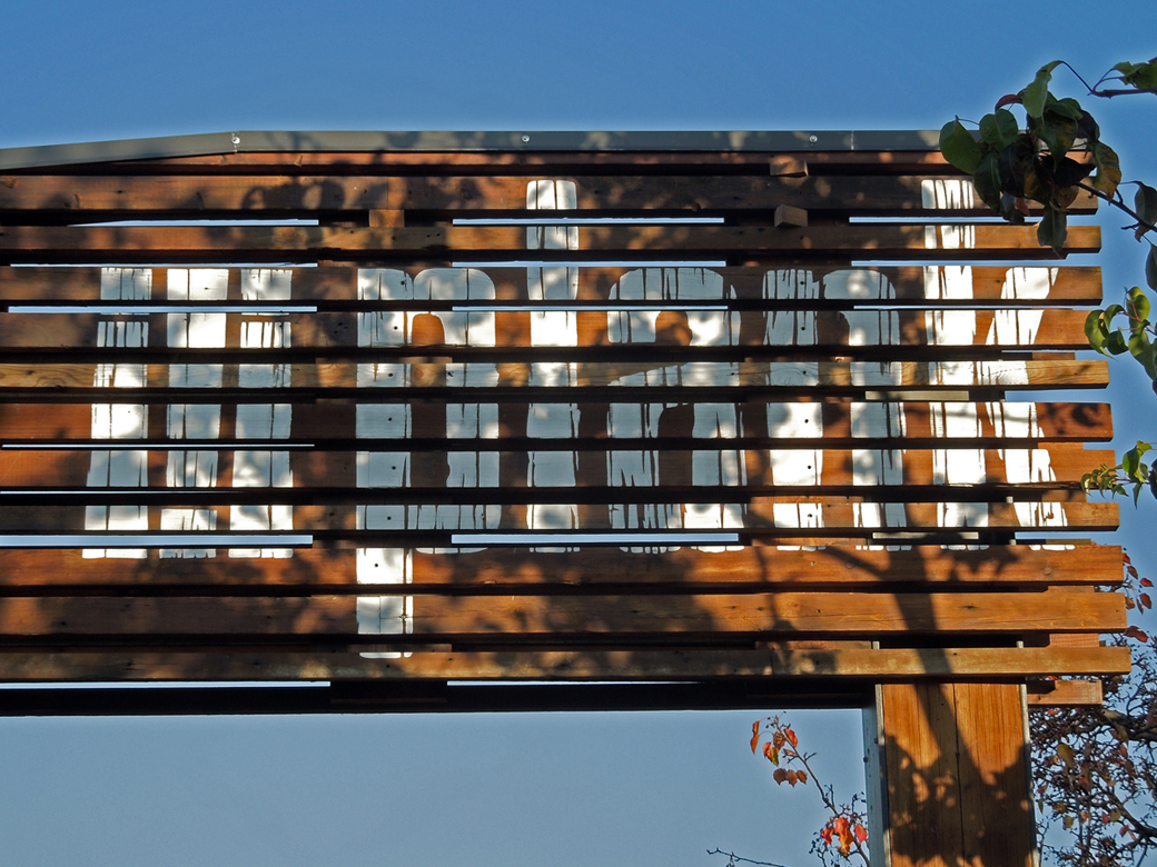
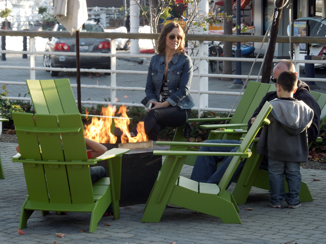
150103 JLS-Plank Fire Pit-webJan and I were walking along the Bay Trail* at Jack London Square when we saw the new venue and decided to have a look and a beer, perhaps even a snack. We were excited when we first heard about Plank: a bar and restaurant with bowling, bocce, billiards, and an arcade.

On the inside, pins were crashing and lights were flashing. It was roaring; it was raucous; it was 3 in the afternoon. Plank is the place to go if you want your kids to have a good time while you have a cocktail…at 3 in the afternoon.

We decided to go outdoors to the beer garden. It really is a great place for bocce: it’s well designed and the menu has a bunch of local beers on tap. We sat down at the bar. The outdoor heaters were keeping the place cozy and we were pretty excited about our beer selections.

That’s when we noticed we were having some trouble getting the bartenders to make eye contact with us. We sat and waited, and watched a group of twenty-somethings saunter up next to us and immediately receive one of the bartenders’ attention. They asked for shots of rye and there was rye. Another bartender became involved in a very friendly, lengthy, conversation. Not with us, but still. Eventually, we gave up and left.

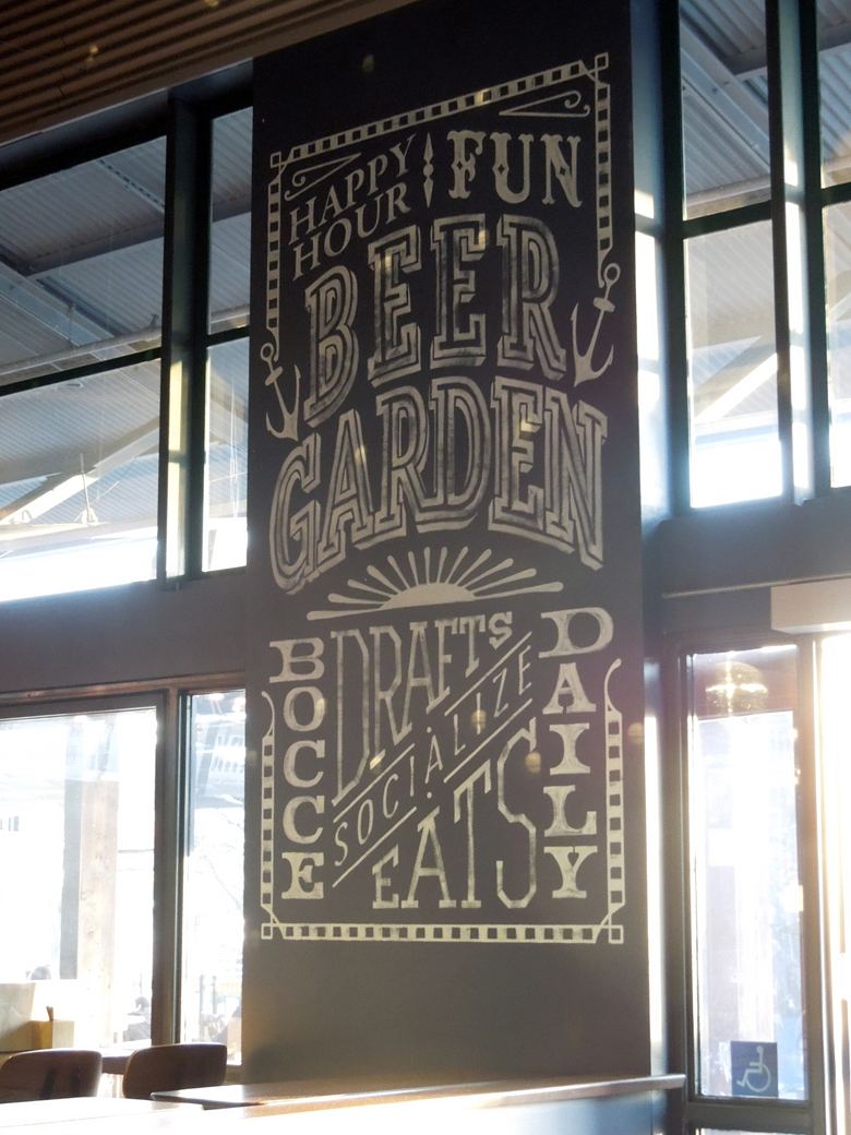
150103-Beer Garden SignPlank will probably be an outstanding anchor for Jack London Square. It’s lively and attractive. It’s a place to enjoy with your kids or your friends. It’s not competing with Amazon. Maybe the staff was changing shifts or many had called in sick on Sunday and the service will be better at a different time or on a different day. We’ve heard the food is excellent for a bowling alley. We’ll give it another chance. Maybe we’ll  bring the kids along and their twenty-something good looks might earn us a beer.

On Sunday, we were glad we still had the Bay Trail to look forward to. It was lovely.

Have you tried Plank? Do you think women of a certain age are invisible? What about that Bay Trail?

* The Bay Trail is a path conceived to eventually circle San Francisco Bay. It is also one of my favorite ideas (it wasn’t MY idea – the idea is just a favorite of mine).

Longfellow: A Vibrant Neighborhood

Longfellow-porchI read a thoughtful blog post a few weeks ago from The Girl Next Door is Black, and it inspired me to write about Longfellow.

For the last few years, I’ve worked and walked in Longfellow, an Oakland neighborhood that is mostly African American. A lot of young white families are moving in. Watching the neighborhood change has made me think about gentrification and diversity. It would be a devastating loss to have the original families priced out of this neighborhood but this post is about the positive energy that diversity brings.

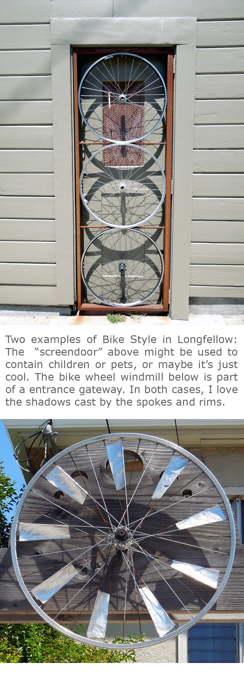
Longfellow Bike StyleI originally thought the neighborhood was vibrant because it’s diverse. After considering that further, it occurred to me that it’s full of energy, in part, because the African American neighbors spend more time outside socializing than people in white neighborhoods. In that case, Longfellow is becoming more diverse but probably not more vibrant.

But my gut tells me the excitement in Longfellow is building. I think a population of all ages is also adding its spark. The older people on the street bring graciousness and civililty. They greet passersby and wait for a reply. The incoming white families are mostly young. They’ve chosen to live in a neighborhood considered to be African American. Young people in Oakland are often more than accepting of differences: they actively seek diversity.

There are other remarkable qualities of the Longfellow neighbors, black and white: they are walking and riding bikes. As a matter of fact, there’s a tendency toward bike-themed design throughout the neighborhood. They are also growing food in their yards. These traits are probably evidence of a community that wants a sustainable lifestyle. The by-product is a neighborhood where people are active and outside.

It turns out, Longfellow is probably vibrant because it’s diverse.

Whistling Past the Graveyard

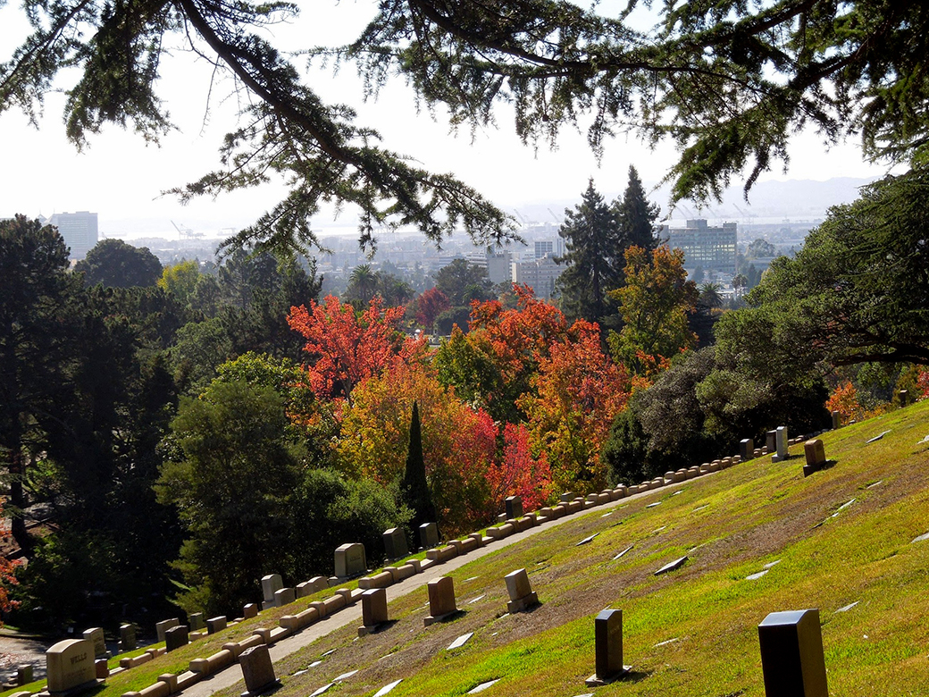
141101 Mtn View Cemetery-fall color-web

People in Oakland have great places to walk. There’s the East Bay Regional Parks, Lake Merritt, the Bay Trail, Arrowhead Marsh, Joaquin Miller Park, and a bunch of stairway walks through neighborhoods. Still, one of my favorites is Mountain View Cemetery.

After two graveyards impeded Oakland’s early growth, a group of Oaklanders decided to create a cemetery far enough from the center of town, that it would never be in the way. The non-profit Mountain View Cemetery Association was formed and the Board of Trustees began searching for a site. They bought 220 acres of hillside land from Rev. I. H. Brayton who used the proceeds ($13,000) to continue Oakland’s College of California, predecessor to UC Bekeley.

Millionaire's Row
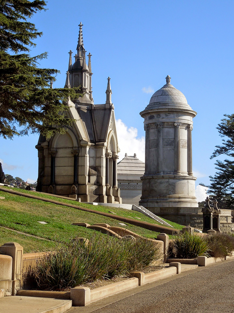
Millionaire’s Row with a view of a Gothic Revival aedicula for Frederick Delger and the vault of Charles Crocker, founder of the Central Pacific Railroad

Frederick Law Olmsted
The cemetery’s designer is the Father of Landscape Architecture, Frederick Law Olmsted. Among the many distinguished places he designed are New York City’s Central Park and the Stanford University Campus. When the original UC Berkeley campus moved from Oakland, he designed the layout. His concept for the Mountain View Cemetery was to create a place that celebrated the works of man while elevating the beauty and peace of nature.

Famous Designers
Many of California’s rich and famous chose Mountain View as their final resting place and created remarkable mausoleums and monuments to celebrate their lives. Architects are rarely rich but Julia Morgan and Bernard Maybeck are famous, and both are interned at Mountain View Cemetery. Morgan is best known for designing the main building at Hearst Castle. She studied under Maybeck at UC Berkeley and designed the Greek Theater on that campus. Maybeck designed many Arts & Crafts buldings in the Bay Area, including the Palace of Fine Arts in San Francisco and the Faculty Club on the UC Berkeley Campus.

I guess it’s no surprise that the beautiful and elegant Mountain View Cemetery shares a relationship with the University in Berkeley. They were designed and built in the East Bay at a time when Californians wanted to demonstrate their civility and good taste to the world. They were fortunate that Frederick Law Olmsted was here to help them out. Both sites have sweeping views, grand boulevards, stunning landmarks, and plenty of hills to keep a seasoned walker in shape.

Sources:
http://www.mountainviewcemetery.org
http://www.oaklandhistory.com/files/hmvc1.html
Beth Bagwell; Oakland: The Story of a City; 2012 Oakland Heritage Alliance

Puttin’ On the Ritz

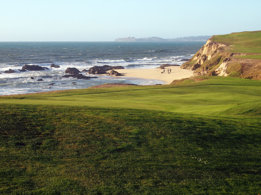
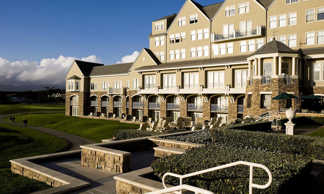
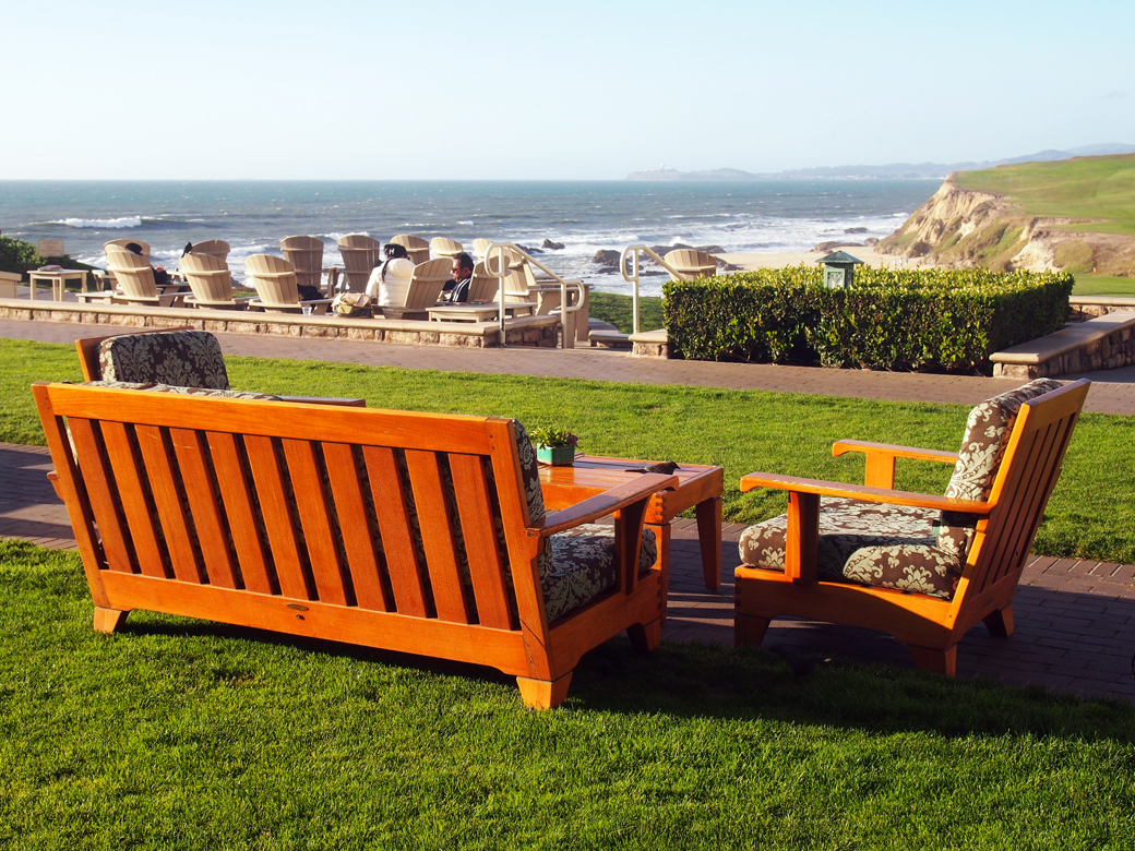
View from Ritz Carlton Half Moon Bay

After a spectacular day on the coast, we decided to stop at the Ritz Carlton in Half Moon Bay to enjoy the sunset and a cocktail. Upon arrival, we paid $10 for valet parking, the only option, and headed directly for the ocean terrace by the fire pits. We had Manhattans that cost an astounding $17.50. Each. And they were worth it – not because they were particularly special but because of the view. Let’s talk about the view.

The squashes at the resort entrance were one seasonal touch that fit with the locale
Photo by the Athens Group

The Ritz Carlton is everything I don’t like and yet, I liked it. It’s a bit of Scotland on the California coast…because we need California to be Scotland? No. So, the resort features Scottish architecture? No. The hotel is an imposing, shingle style, turreted affair that’s supposed to “evoke the magnificence of 19th century seaside lodges”. Northeastern seaside lodges. The Hamptons come to mind. Okay, it’s a magnificent northeastern style seaside lodge set within a pair of Scottish golf courses with staff walking around in plaid knickers. The Ritz Carlton is not an example of regional design.

Why did I like it? I’ve spent a lot of time on the California coast and the beautiful view from the cliffs overlooking the ocean is never diminished. It can be foggy (and it probably will be), it can be windy, it can smell like the brussels sprouts growing on the bluffs, the beaches can be littered with brown seaweed covered in sand flies, and it is still the most breathtaking place I’ve ever been. The California coast is like a beautiful girl, hair tangled, barefoot in sandy jeans and a faded sweatshirt. The view from the Ritz Carlton ocean terrace on a clear day was like seeing her in a green velvet gown and high heels. It’s not the way I want the coast to be but I can’t help feeling glad I saw her that way.

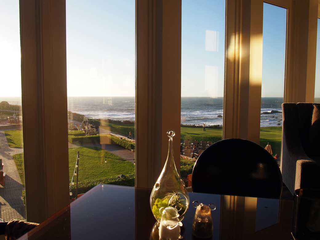
Ritz Carlton HMB Ocean TerraceRitz Carlton HMB NavioAfter shaking off the sticker shock of the cocktails, we sallied forth to Navio, the restaurant at the resort, with a plan NOT to eat barely acceptable food at very expensive prices. The dining room is lovely and we were given a table at the window. We ordered conservatively, (two women can get away with significantly less food than a traditional couple) and ate a perfectly acceptable dinner for under $100. The service was good. The food was good. Nothing was memorable but the view. After we got back to Oaktown, I checked out Michael Bauer’s 2013 review and can say I think Navio has improved since his meal, but I won’t deny that the restaurant is not a good value.

The Ritz Carlton made me feel sorry for people who think the coastal experience is something they can buy. Without a deeper relationship with the shoreline, the Ritz Carlton is nothing but a fancy, out of place resort. Next time, we might still stop in for a cocktail at the Ritz, but afterwards we’ll head up Highway 1 to our favorite Half Moon Bay taqueria for dinner.

Devil’s Slide, Mavericks & Coastal Geology

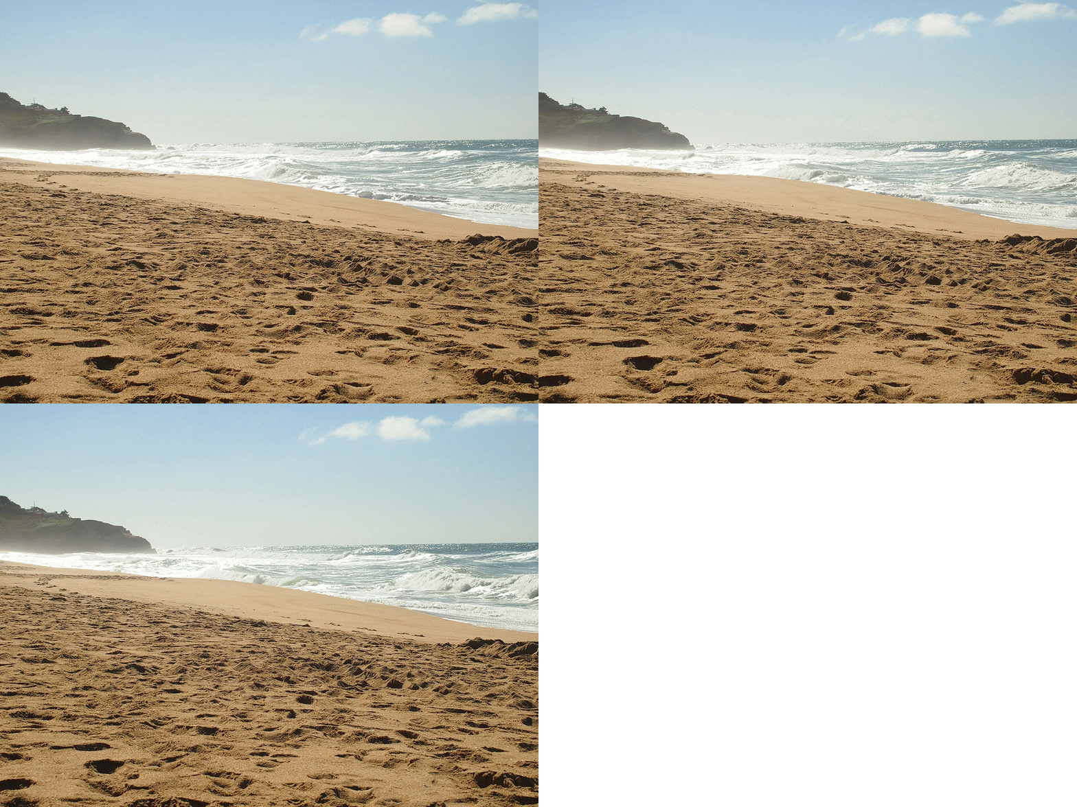
Surf and sand at Montara State Beach

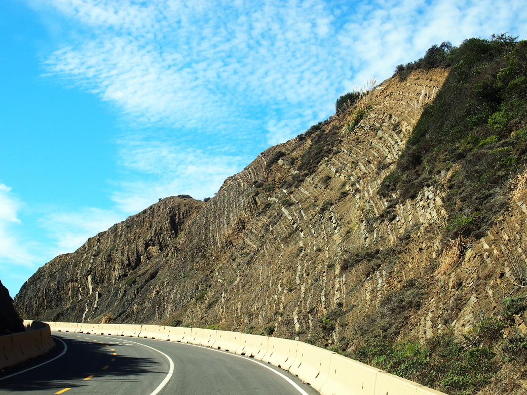
Devil's Slide - Sedimentary layers of shale and sandstone
From Devil’s Slide Trail, we can see sedimentary layers of shale and sandstone thrust up from the ocean floor.

We love going places! In an attempt to reduce our carbon footprint, we spend a lot of our free time traveling local. That doesn’t mean we never fly, but it’s remarkable how much you can learn by visiting places close to home.

Devil’s Slide Trail
This new open space was the first stop on our fall day trip to the coast. Over the years, we’ve been aware of the hellish landslides at this location, sometimes closing Highway 1 for months at a time. On this journey, we learned the area’s geology is the devil causing the slides.

At the north end of the trail are rough sedimentary layers of shale and sandstone that were once part of the ocean floor. At the south end, the cliffs are granitic rock of Montara Mountain. At Devil’s Slide, landslides occur where sedimentary layers were thrust over the granitic rock.

As a result of the landslides, Highway 1 was diverted through the Tom Lantos Tunnels in 2013 and the old highway was converted to this multi-use trail. The views from Devil’s Slide Trail are spectacular but the 1.3-mile walk leads only from parking lot to parking lot. It is a part of the California Coastal Trail and we’re looking forward to the day when it extends from Oregon to Mexico.

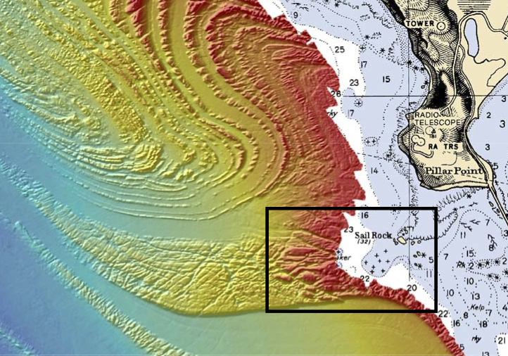
This Seafloor Map released by the US National Oceanic and Atmospheric Administration shows the geology behind Mavericks.
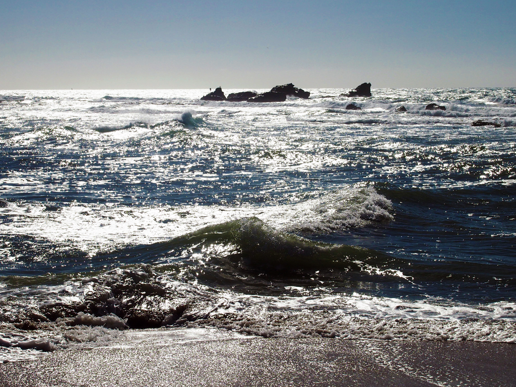
Sail Rock from the beach at Pillar Point
Sail Rock as seen from Mavericks Beach at Pillar Point. Mavericks break is about 2 miles from shore, beyond the visible reef.

Mavericks
Geology plays an important role in another coastal site we visited: Pillar Point, site of the famous M
avericks break. Gradual ramping of the sea-floor, plus deeper water on both sides of the ramp are the key ingredients for the magnificent and sometimes malevolent waves.

Here’s my understanding of how this works: As a wave approaches the shore, its base slows as it runs along the rising seafloor while the top of the wave maintains its original speed. This causes the wave to stand up and pitch forward. The long, gradual slope at Mavericks creates an exceptionally tall wave. The wave continues at full speed at the deeper waters on each side of the ramp, allowing the wave to draw additional energy, and creating a wave convergence at the center of the ramp. After winter storms, waves at Mavericks can top out at over 80 feet. 

The mild fall weather during our day trip produced little surf but it was a beautiful and adventure-filled day. We walked along Cowell Ranch Beach before stopping at the Ritz Carlton Half Moon Bay for dinner. I’ll tell you what we thought about that, next week.

Sources:
Devil’s Slide Brochure from San Mateo County Parks
Mavericks, California from Wikipedia
Map Reveals Secret of Awesome Mavericks Waves by Phil McKenna from New Scientist

What is one of your favorite local places to go?